Outdoors
Algonquin Track and Tower Hike
This loop follows a stretch of abandoned railway and climbs to a lookout over Cache Lake. Numbered posts along the way tell the story of Algonquin's past.
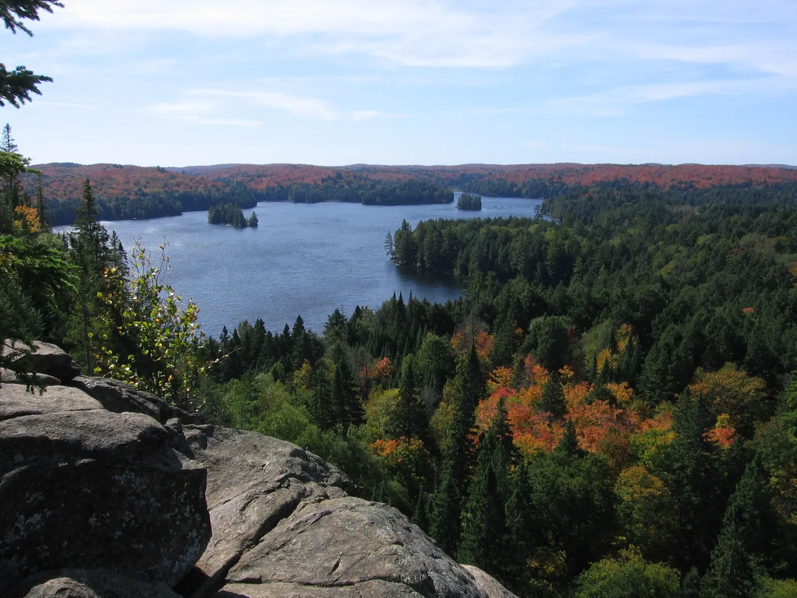
- Where
- Ontario, Canada
- Distance
- 7.5 km loop
- Difficulty
- Hard
The route
Track and Tower Trail, Highway 60 corridor, Algonquin Provincial Park.
The trailhead is at km 25.0 of Highway 60, with parking and toilets.
When to go
Algonquin's interpretive trails are open year-round, but access to trailhead car parks may vary in winter.
Permits and fees
You need a valid Algonquin Park permit to use the trail. Ontario Parks sells daily vehicle permits up to five days ahead for most parks and says booking ahead is the way to guarantee entry.
Before you go
- Trail guide booklets keyed to the numbered posts are at the trailhead from late spring to early autumn, and at Friends of Algonquin Park bookstores all year.
- Nearby stops include the Cache Lake access point and the Hemlock Bluff Trail.
What to bring
- Shoes with grip that you have already worn in
- At least 1.5 litres of water
- Food you will actually want to eat
- A warm or waterproof layer
- The route, saved offline
- Sun cream and a hat
Getting ready for it
If your longest walk lately is under two hours, do a few longer walks first, ideally with some climbing and the pack you will carry.
Step-ups and lunges twice a week make the descents much easier on your knees.
Staying safe
- Tell someone your route and when you expect to be back.
- Turn around if the weather turns or the footing gets sketchy. The trail will still be there.
Route details checked September 30, 2026 against algonquinpark.on.ca, algonquinpark.on.ca and ontarioparks.ca. Rules and closures change, so check before you go.