Outdoors
Joffre Lakes Trail Hike
A five-minute walk reaches the Lower Joffre Lake viewpoint. The trail then climbs through old-growth hemlock and spruce and across talus slopes to Middle Joffre Lake, and a narrower, rougher final stretch leads to Upper Joffre Lake below Matier Glacier and Joffre Peak (2,721 m).
- Where
- British Columbia, Canada
- Distance
- 9.4 km return (4.7 km each way)
- Climb
- 400-490 m
- Time
- 3.5 hours one way (BC Parks estimate)
The route
Joffre Lakes Trail to Upper Joffre Lake, out and back.
The trail starts at the park car park off Highway 99 (Duffey Lake Road), east of Pemberton. Park only in the designated car parks; parking along the highway is not allowed.
When to go
The park is open year-round but closes for set periods (20 to 27 June and 8 to 30 September in 2026); expect severe winter conditions from November to the end of May, when vehicle access depends on the weather.
Permits and fees
In 2026 each hiker needs a free BC Parks day-use trail pass from 11 May to 25 October, booked online from 7 am two days before your visit. You can book up to four passes per transaction, children aged 12 and under with a pass-holding parent or guardian do not need one, and the park is managed for 500 visitors a day.
Before you go
- There is no mobile signal in the park, so download or print your pass before you arrive.
- There is no drinking water; carry your own or treat stream water.
- Dogs and other pets are not allowed, and campfires are banned all year.
- Pack insect repellent; mosquitoes and black flies are common.
What to bring
- Shoes with grip that you have already worn in
- At least 1.5 litres of water
- Food you will actually want to eat
- A warm or waterproof layer
- The route, saved offline
- Sun cream and a hat
Getting ready for it
If your longest walk lately is under two hours, do a few longer walks first, ideally with some climbing and the pack you will carry.
Step-ups and lunges twice a week make the descents much easier on your knees.
Staying safe
- Ice and rock fall from Matier Glacier and the slopes above Upper Joffre Lake, especially on warm afternoons; BC Parks strongly discourages scrambling higher.
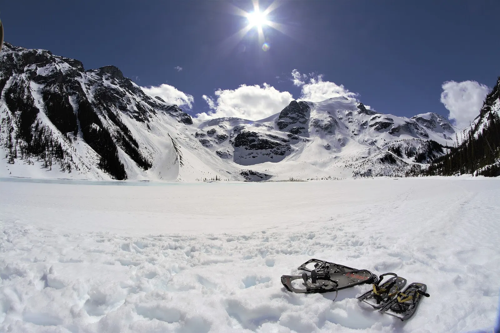
- Avalanches can happen for much of the year; in winter and spring BC Parks advises a transceiver, probe and shovel, plus microspikes or snowshoes.
- Tell someone your route and when you expect to be back.
- Turn around if the weather turns or the footing gets sketchy. The trail will still be there.
Route details checked September 30, 2026 against bcparks.ca, nrs.objectstore.gov.bc.ca, bcparks.ca, news.gov.bc.ca and vancouvertrails.com. Rules and closures change, so check before you go.