Outdoors
Going-to-the-Sun Road Ride
Ride east from the west entrance along the southern shore of Lake McDonald, then climb the alpine section of the road to Logan Pass, its highest point at 2,026 m (6,646 ft), and return the same way. The full road is about 80 km (50 miles) long.
- Where
- Montana, USA
- Distance
- 51.5 km (32 miles) one way from the west entrance to Logan Pass
- Climb
- About 1,065 m (3,493 ft) net rise from Lake McDonald (961 m / 3,153 ft) to Logan Pass (2,026 m / 6,646 ft)
The route
West Entrance to Logan Pass on Going-to-the-Sun Road, Glacier National Park (out and back).
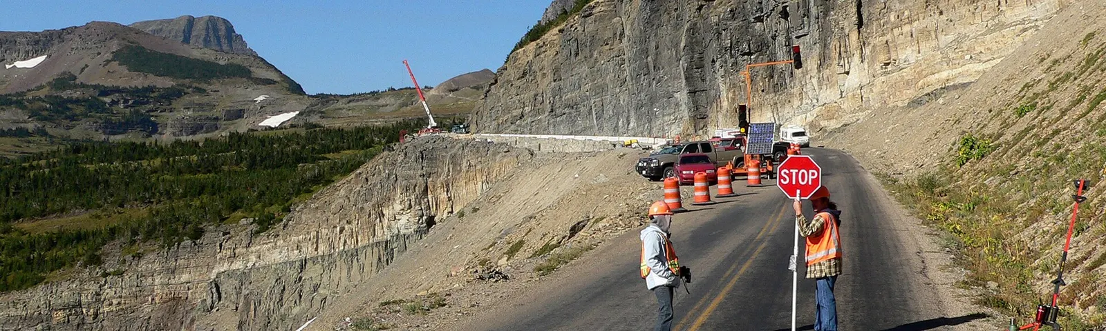
Start at the west entrance near West Glacier or at Apgar. In spring, before the road opens to cars, many riders start further up at the vehicle closure point; in 2026 the park is not running its usual hiker/biker shuttles.
When to go
Lower sections are open all year. The alpine section over Logan Pass has no set opening date but has usually been fully open by early July, and it normally stays open until the third Monday in October, weather permitting. Before full opening, spring hiker/biker access lets you ride past the vehicle closure when road crews are not working.
Permits and fees
Entrance pass: $20 per person arriving by bike, valid 7 days ($15 from 1 November to 30 April). Non-US residents aged 16 and over pay an extra $100 unless they hold an annual or America the Beautiful pass. No vehicle reservations are required anywhere in the park in 2026.
Before you go
- 2026 peak-season rules: from full opening to 27 September, bikes are banned between Apgar and Logan Pass eastbound from noon to 6 pm and westbound from 3 pm to 6 pm, so start early.
- When the road is open to cars, ride single file, use pull-outs, and stop to let traffic pass when four or more cars build up behind you. Front and rear lights or reflectors are required in low light.
- Pack warm layers for the descent: rangers often treat cyclists for hypothermia in spring and early summer.
- Carry bear spray, and keep 91 m (100 yards) from bears and wolves and 23 m (25 yards) from other large animals.
What to bring
- Helmet
- Spare tube, tyre levers and a pump
- Water and snacks
- Front and rear lights
- A layer for descents and stops
Getting ready for it
Time in the saddle matters more than speed.
If you have not ridden for a while, do two or three rides of an hour or two first so your legs and your seat are used to it.
Staying safe
- The road has no bike lanes or shoulders and heavy two-way traffic in summer; the Park Service says only riders experienced with that should ride it in peak season.
- In spring, never go past the hiker/biker closure points: avalanche hazard closures apply at all times and fines reach $5,000.
- Wear bright clothing and use lights wherever there is traffic.
- Check your brakes and tyres before you leave.
Route details checked September 30, 2026 against nps.gov, nps.gov, nps.gov, nps.gov, en.wikipedia.org and en.wikipedia.org. Rules and closures change, so check before you go.