Outdoors
Kew Mae Pan Nature Trail Hike
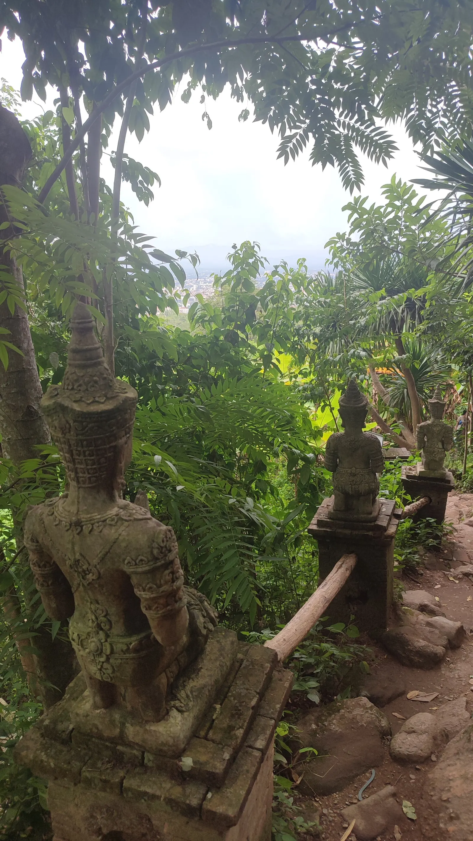
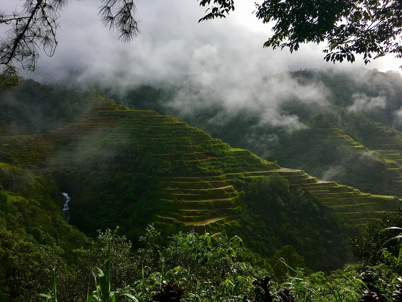
You walk a guided loop high on Doi Inthanon, Thailand's highest mountain, at around 2,000 m, following a mountain ridge with a wide view to the west. The path is clear and well maintained.
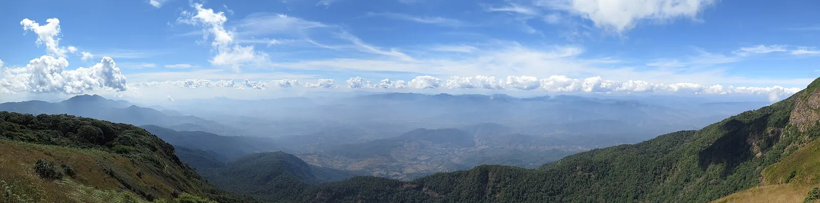
- Where
- Doi Inthanon, Thailand
- Distance
- about 2.5-3.2 km loop
- Time
- 2-3 hours
Check before you go: The trail closes every year from 1 June to 31 October so the forest can recover, and usually reopens on 1 November. (as of September 30, 2026)
The route
Kew Mae Pan Nature Trail loop, Doi Inthanon National Park (with a compulsory local guide).
The trailhead is on the main summit road a few hundred metres north of the two chedis. The park is about 70 km south-west of Chiang Mai; public transport needs several changes and takes 2.5-3 hours, so most people come by hired car or tour.
When to go
Open 1 November to 31 May and closed every year from 1 June to 31 October so the forest can recover, which means it is shut at the time of writing (late September 2026) and should reopen on 1 November.
Permits and fees
You must walk with a local guide, hired at the trailhead: 200 baht per group for the 2025-26 season according to Kapook, or 220 baht for up to 10 people according to Thai National Parks. The park entrance fee for foreigners was 300 baht per adult and 150 baht per child (3-14) as of June 2022.
Before you go
- Guides wait at the trailhead and can only be hired on the spot.
- The trail opens from 6am, so you can start early in the day.
- Bring warm layers: at this height winter nights can approach freezing.
- Parking, toilets and food stalls are at the trailhead.
What to bring
- Shoes with grip that you have already worn in
- At least 1.5 litres of water
- Food you will actually want to eat
- A warm or waterproof layer
- The route, saved offline
- Sun cream and a hat
Getting ready for it
If your longest walk lately is under two hours, do a few longer walks first, ideally with some climbing and the pack you will carry.
Step-ups and lunges twice a week make the descents much easier on your knees.
Staying safe
- Cold at altitude, especially on winter mornings.
- Tell someone your route and when you expect to be back.
- Turn around if the weather turns or the footing gets sketchy. The trail will still be there.
Route details checked September 30, 2026 against thairath.co.th, travel.kapook.com and thainationalparks.com. Rules and closures change, so check before you go.