Outdoors
Mount Batur Sunrise Hike
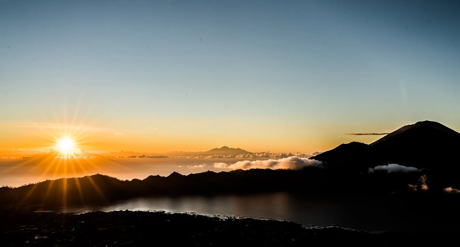
You climb in the dark from the lakeside village of Toya Bungkah, much of it through shaded forest, to watch sunrise from the 1,717 m summit of this active volcano above Lake Batur in the Kintamani highlands.
- Where
- Bali, Indonesia
- Time
- About 2 hours up
The route
Mount Batur sunrise climb from Toya Bungkah.
Start at Toya Bungkah village by Lake Batur, where the Mount Batur trekking guides' association has its office. Wikivoyage recommends booking your climb through your hotel.
When to go
Wikivoyage advises against climbing in the wet season, December to February, when the paths get very slippery.
Permits and fees
Foreign tourists pay a one-off Bali levy of IDR 150,000, online through Love Bali or at the airport or Benoa port. In practice you climb with a guide from the local guides' association, booked directly or through your hotel.
Before you go
- Book your guide in advance through your hotel to avoid touts at the trailhead.
- Take warm layers: it is much colder on the mountain than on the coast.
- The Toya Bungkah route has more shade than the alternative start at Pura Jati, which crosses open lava fields.
What to bring
- Shoes with grip that you have already worn in
- At least 1.5 litres of water
- Food you will actually want to eat
- A warm or waterproof layer
- The route, saved offline
- Sun cream and a hat
Getting ready for it
If your longest walk lately is under two hours, do a few longer walks first, ideally with some climbing and the pack you will carry.
Step-ups and lunges twice a week make the descents much easier on your knees.
Staying safe
- Batur is an active volcano; MAGMA Indonesia listed it at Level I (Normal) on 30 September 2026, so check its status before you go.
- Paths become very slippery in rain.
- Tell someone your route and when you expect to be back.
- Turn around if the weather turns or the footing gets sketchy. The trail will still be there.
Route details checked September 30, 2026 against en.wikivoyage.org, en.wikipedia.org, indonesia.travel and magma.esdm.go.id. Rules and closures change, so check before you go.