Outdoors
Kumano Kodo Daimon-zaka Hike
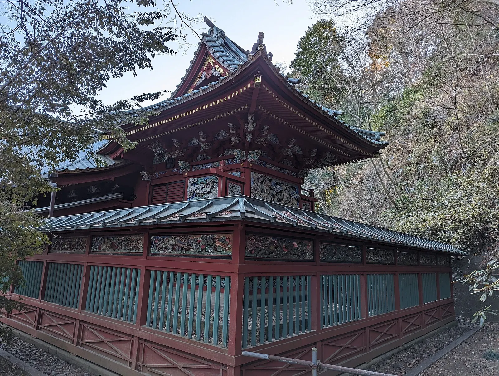
You climb a cobblestone section of the Kumano Kodo pilgrimage route, starting at the Meoto-sugi husband-and-wife cedars and passing old cedar, cypress and camphor trees. From the top you continue up to Kumano Nachi Taisha shrine and Seiganto-ji Temple, then walk down past the pagoda to Nachi Falls.
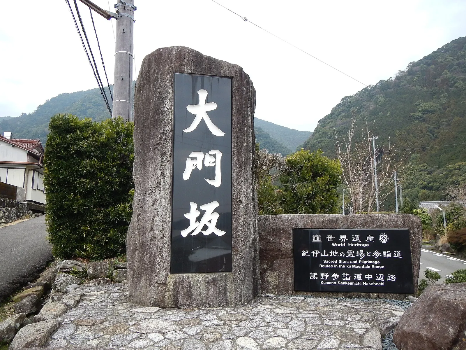
- Where
- Wakayama, Japan
- Distance
- About 2.5 km one way to Nachi Falls (the slope itself is about 1 km)
- Time
- About 1 hour of walking; allow about 2 hours with visits
- Difficulty
- Easy
The route
Daimon-zaka stone slope to Kumano Nachi Taisha, Seiganto-ji Temple and Nachi Falls.
Buses run daily from Kii-Katsuura Station via Nachi Station to the Daimonzaka stop, about 20 minutes (Bus Timetable No. 8). There is also free parking about 500 m from the start of the slope.
Permits and fees
The walk itself is free. The Nachi Falls viewing platform charges 300 yen for adults and 200 yen for children 15 and under, and is open from 07:00 to 16:30.
Before you go
- Borrow a walking stick at the Daimon-zaka car park bus stop, where there are also toilets and vending machines.
- Climb to the shrine grounds first, then walk down beside the pagoda to the falls, as the Kumano Tourism Bureau suggests.
- Three bus stops serve the route: Daimonzaka at the base, Kumano Kodo about a third of the way up, and Nachisan at the top.
- Daimon-zaka-chaya at the base rents Heian-period costumes for photos.
What to bring
- Shoes with grip that you have already worn in
- At least 1.5 litres of water
- Food you will actually want to eat
- A warm or waterproof layer
- The route, saved offline
- Sun cream and a hat
Getting ready for it
If your longest walk lately is under two hours, do a few longer walks first, ideally with some climbing and the pack you will carry.
Step-ups and lunges twice a week make the descents much easier on your knees.
Staying safe
- The staircase has 267 stone steps over about 600 m, and published walking times assume good weather; allow longer in rain.
- Tell someone your route and when you expect to be back.
- Turn around if the weather turns or the footing gets sketchy. The trail will still be there.
Route details checked September 30, 2026 against tb-kumano.jp and nachikan.jp. Rules and closures change, so check before you go.