Outdoors
Mount Takao Trail Hike
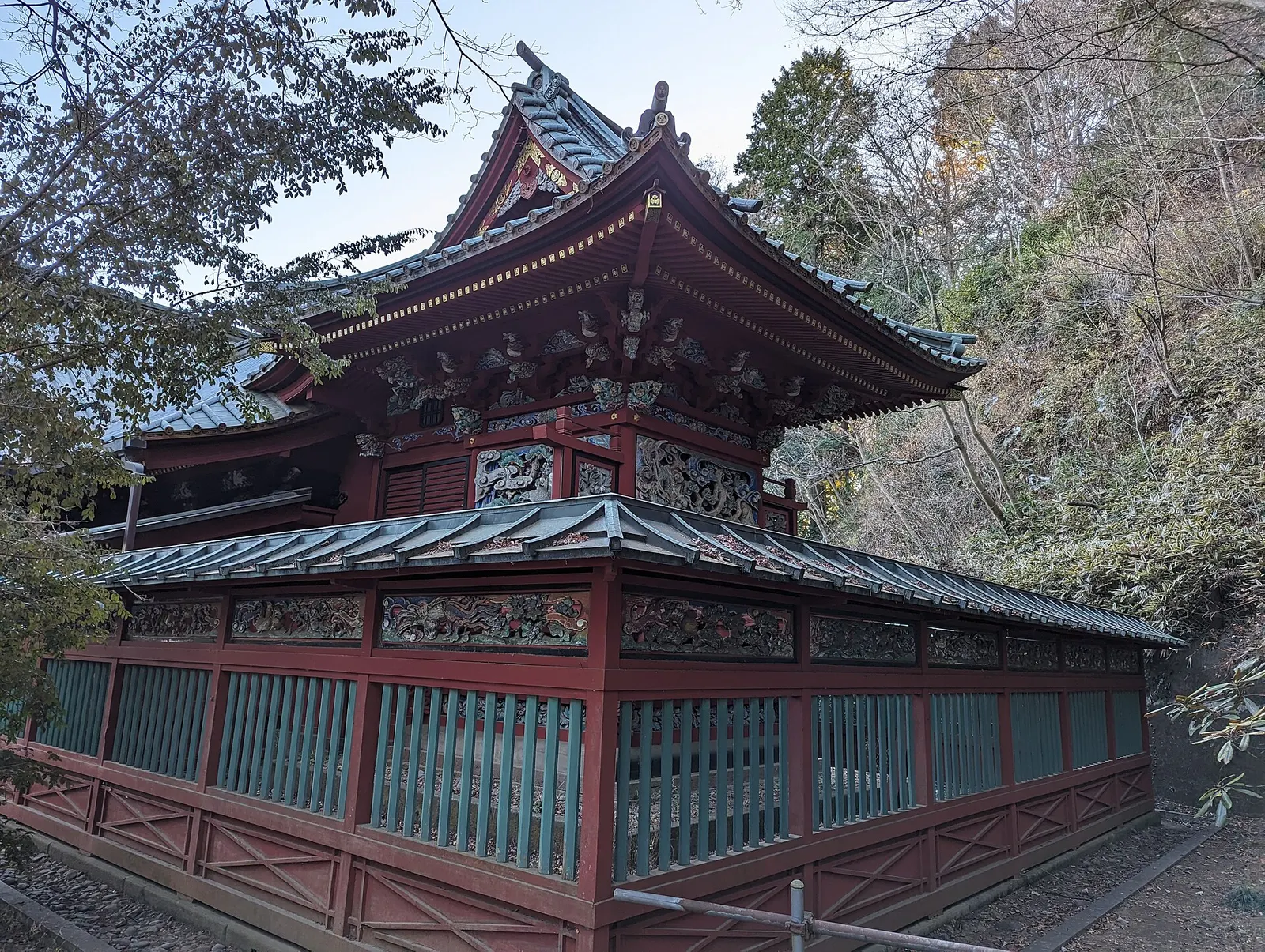
You climb the paved main trail past Monkey Park, the Wild Plant Garden, the Tako-sugi octopus cedar and Takao-san Yakuo-in Temple to the 599 m summit. You come down the unpaved Inariyama ridge trail, past the Mt. Inari observatory and rest area.
- Where
- Tokyo, Japan
- Distance
- 7 km (3.8 km up, 3.2 km down)
- Time
- About 3 hours (about 110 minutes up, 60 minutes down)
- Difficulty
- Moderate
The route
Takao Trail No. 1 (Omotesando) up, Inariyama Trail down.
Take the Keio Line from Shinjuku to Takaosanguchi Station, about 50 minutes by express. Trail No. 1 starts by the cable car station at Kiyotaki, about 5 minutes' walk away; the Inariyama Trail starts at the bridge to the left of Kiyotaki station.
When to go
Crowds and traffic are heaviest in the autumn leaf season and Golden Week; hydrangea and gold-banded lily bloom on the Inariyama Trail from June to July.
Before you go
- Come by train: the local car parks fill early on holidays and in busy seasons.
- If you want an easier day, the cable car or chairlift cuts Trail No. 1 to about 60 minutes up.
- There are plenty of rest spots and restaurants on Trail No. 1, but fewer facilities on Inariyama.
- Park rules: stay on the trails, take litter home and do not feed the animals.
What to bring
- Shoes with grip that you have already worn in
- At least 1.5 litres of water
- Food you will actually want to eat
- A warm or waterproof layer
- The route, saved offline
- Sun cream and a hat
Getting ready for it
If your longest walk lately is under two hours, do a few longer walks first, ideally with some climbing and the pack you will carry.
Step-ups and lunges twice a week make the descents much easier on your knees.
Staying safe
- The Takao 599 Museum rates the Inariyama Trail as Hard, with steep, uneven ground; go carefully on the descent.
- Tell someone your route and when you expect to be back.
- Turn around if the weather turns or the footing gets sketchy. The trail will still be there.
Route details checked September 30, 2026 against takao599museum.jp, en.wikipedia.org and en.mttakaomagazine.com. Rules and closures change, so check before you go.