Outdoors
Tre Cime di Lavaredo Loop Hike
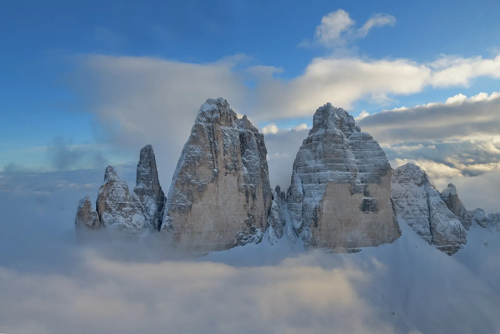
You walk right round the three peaks from their south side, passing Rifugio Lavaredo and crossing Forcella Lavaredo (Paternsattel), where the 500 m north faces come into view. The loop continues below Monte Paterno towards Rifugio Locatelli or, on path 105, the Lange Alpe hut and lake, then returns along the west side of the peaks.
- Where
- Dolomites, Italy
- Distance
- 8.8 km loop
- Climb
- 550 m
- Time
- 4 hours
- Difficulty
- Easy
The route
Tre Cime di Lavaredo circuit from Rifugio Auronzo (paths 101 and 105).
The walk starts at Rifugio Auronzo, at the end of a toll road beyond Misurina. In summer, bus line 444 runs from Dobbiaco (Toblach) to the hut, and a shuttle also runs from Sexten-Innichen.
When to go
The toll road usually opens from June to October, snow permitting (it opened on 8 June in 2026), and the tourist board says June to September is best for snow-free paths.
Permits and fees
Driving up needs an online booking at auronzo.info; in 2026 the toll was €40 per car, €26 per motorbike and €60 per campervan, valid for 12 hours from your chosen entry time. No permit is needed if you arrive by bus or on foot.
Before you go
- Take bus 444 from Dobbiaco to avoid the toll and the parking booking.
- If you drive, the tourist board suggests arriving before 7 am in summer, as the car park fills quickly.
- Walk anticlockwise as the tourist board describes: path 101 to Rifugio Lavaredo and Forcella Lavaredo comes first, about an hour from the start.
- Autumn brings fewer visitors, according to the tourist board.
What to bring
- Shoes with grip that you have already worn in
- At least 1.5 litres of water
- Food you will actually want to eat
- A warm or waterproof layer
- The route, saved offline
- Sun cream and a hat
Getting ready for it
If your longest walk lately is under two hours, do a few longer walks first, ideally with some climbing and the pack you will carry.
Step-ups and lunges twice a week make the descents much easier on your knees.
Staying safe
- The whole loop lies between 2,169 m and 2,451 m, and the toll road can be closed at short notice because of snow.
- Tell someone your route and when you expect to be back.
- Turn around if the weather turns or the footing gets sketchy. The trail will still be there.
Route details checked September 30, 2026 against dreizinnen.com, dreizinnen.com and dolomiti.it. Rules and closures change, so check before you go.