Outdoors
Franconia Ridge Loop Hike
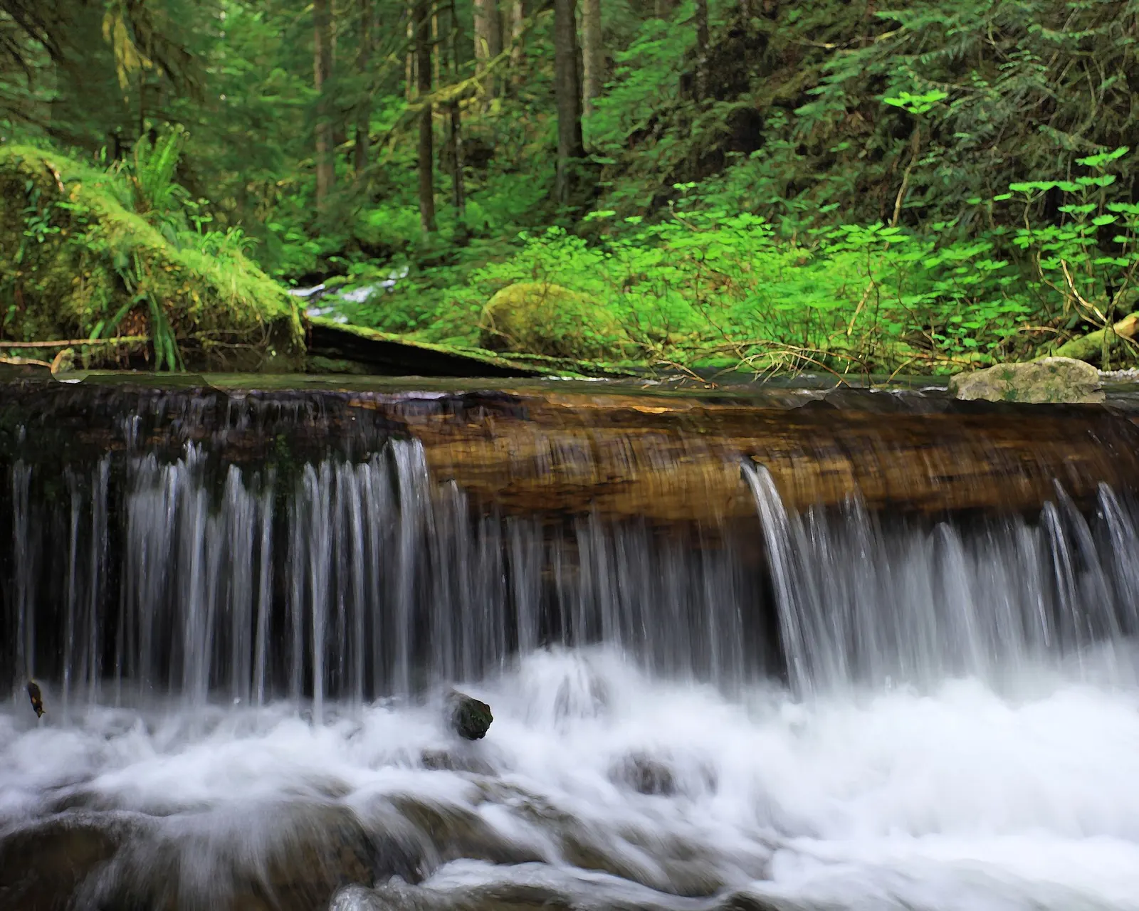
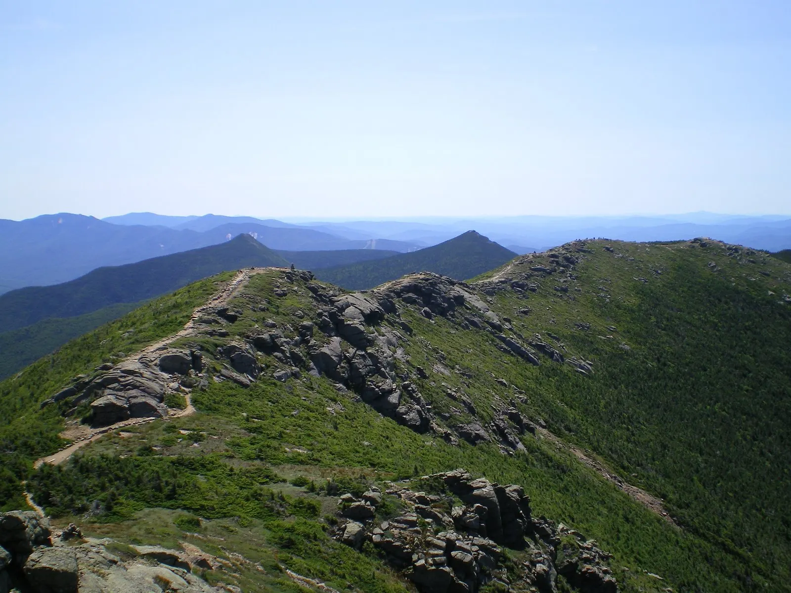
You climb the Falling Waters Trail past waterfalls including Cloudland Falls, then walk the open, rocky ridge over Little Haystack Mountain, Mount Lincoln and Mount Lafayette on the Appalachian Trail. You descend past the Appalachian Mountain Club's Greenleaf Hut and down the Old Bridle Path.
- Where
- New Hampshire, USA
- Distance
- About 13-14.3 km (8-8.9 miles) loop
- Climb
- About 1,200 m (3,900-4,000 ft)
- Difficulty
- Very hard
The route
Franconia Ridge Loop: Falling Waters Trail, Franconia Ridge Trail over Little Haystack, Mount Lincoln and Mount Lafayette, Greenleaf Trail and Old Bridle Path.
The shared trailhead for Falling Waters and Old Bridle Path is at Lafayette Place in Franconia Notch State Park, reached from both sides of I-93. From the southbound side, park in the Lafayette Campground lot and use the tunnel under the highway.
When to go
Weather on the exposed ridge changes quickly in any season; the weekend hiker shuttle from Cannon Mountain ran from 23 May to 18 October in 2026.
Permits and fees
No permit is mentioned for day hiking. Overflow parking is at the Cannon Mountain Aerial Tramway lot (I-93 exit 34B), with a hiker shuttle to the trailhead at $5 per person return on Saturdays, Sundays and holidays.
Before you go
- Never park on I-93: highway parking is illegal at all times.
- The lower Falling Waters Trail near Cloudland Falls was rerouted in September 2026, with old sections closed; download the state park's updated map before you go.
- Plan for a long day: the state park describes the loop as extremely strenuous and only for people prepared for bad weather.
What to bring
- Shoes with grip that you have already worn in
- At least 1.5 litres of water
- Food you will actually want to eat
- A warm or waterproof layer
- The route, saved offline
- Sun cream and a hat
Getting ready for it
If your longest walk lately is under two hours, do a few longer walks first, ideally with some climbing and the pack you will carry.
Step-ups and lunges twice a week make the descents much easier on your knees.
Staying safe
- Most of the ridge is above the treeline, and the exposure and changeable White Mountains weather make it more dangerous than it looks.
- Tell someone your route and when you expect to be back.
- Turn around if the weather turns or the footing gets sketchy. The trail will still be there.
Route details checked September 30, 2026 against en.wikipedia.org, nhstateparks.org, nhstateparks.org and cannonmt.com. Rules and closures change, so check before you go.