Outdoors
Jeju Olle Trail Hike
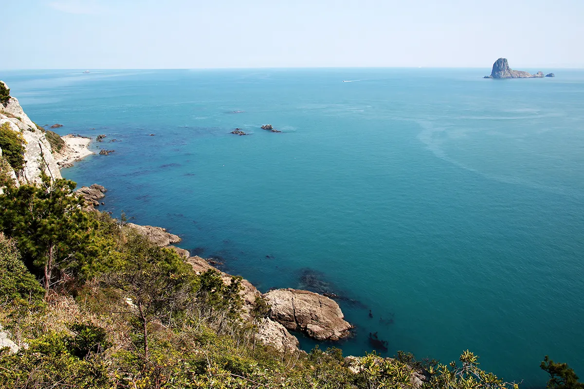
You follow Seogwipo's south coast past the 20 m Oedolgae sea stack, the cliff-top Dombenang-gil path, the Sokgol stream valley and the Subong-ro footpath, which a trail volunteer cut by hand, to Beophwan port, then continues to Seogwipo Bus Terminal in the new Innovation City district.
- Where
- Jeju Island, South Korea
- Distance
- 12.9 km one way
- Time
- 3-4 hours
- Difficulty
- Moderate
The route
Jeju Olle Route 7: Jeju Olle Travel Center to Seogwipo Bus Terminal.
The route starts at the Jeju Olle Travel Center, 22 Jungjeong-ro in Seogwipo (open 08:30 to 17:30, closed on Seollal and Chuseok days). The Jeju Olle call centre (064-762-2190) can advise on bus routes.
Before you go
- Pick up maps and route advice at the Travel Center before you set off.
- Follow the blue arrows and the blue and orange ribbons; orange arrows point the other way.
- Collect passport stamps at the start, middle and end of the route if you are working towards a Jeju Olle certificate.
- Beophwan port has restaurants and cafes, so it is a good place to stop.
What to bring
- Shoes with grip that you have already worn in
- At least 1.5 litres of water
- Food you will actually want to eat
- A warm or waterproof layer
- The route, saved offline
- Sun cream and a hat
Getting ready for it
If your longest walk lately is under two hours, do a few longer walks first, ideally with some climbing and the pack you will carry.
Step-ups and lunges twice a week make the descents much easier on your knees.
Staying safe
- The foundation changes routes and posts detours on its website; check the notices before you go, because older guides describe a different Route 7 ending in Wolpyeong.
- Tell someone your route and when you expect to be back.
- Turn around if the weather turns or the footing gets sketchy. The trail will still be there.
Route details checked September 30, 2026 against jejuolle.org and en.wikipedia.org. Rules and closures change, so check before you go.