Outdoors
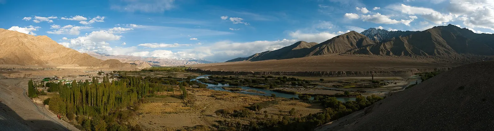
Ladakh Sham Valley Trek Hike
You walk village to village over four passes: Phobe La (3,580 m), Chagatse La (3,630 m), Tsermangchen La (3,750 m) and Mebtak La (3,720 m). You sleep in guesthouses or people's homes every night, in villages such as Yangthang and Hemis Shukpachan, and finish at Tingmosgang.
- Where
- Ladakh, India
- Time
- 2-3 days
The route
Sham Valley 'Baby Trek': Likir to Tingmosgang (Temisgam) via Yangthang, Hemis Shukpachan and Ang.
The trek starts in Likir village, below Likir Monastery, about 52 km west of Leh and 9.5 km north of the Srinagar-Leh highway. You reach it by road from Leh.
When to go
The main season runs from June to mid-October, when the roads to Leh are open; in winter many trekking companies and guesthouses close.
Permits and fees
The sources I read list protected area permits (₹600 as of September 2023) only for border areas such as Nubra, Pangong and Tso Moriri, and none mention a permit for this route; confirm in Leh before you set off.
Before you go
- If you fly into Leh, rest for at least two to three days before you start.
- The trek works well as an acclimatisation walk, as its highest point is low for Ladakh.
- You can sleep in guesthouses or homestays every night, so you do not need a tent.
What to bring
- Shoes with grip that you have already worn in
- At least 1.5 litres of water
- Food you will actually want to eat
- A warm or waterproof layer
- The route, saved offline
- Sun cream and a hat
- Camping, cooking and navigation kit for every night, or check exactly what your operator provides
Getting ready for it
Several days in a row with a loaded pack or boat is a different kind of tired from one long day.
Do at least one full day out with all your kit a few weeks before, and fix anything that rubs, leaks or slows you down.
Staying safe
- Altitude: Leh sits above 3,500 m and the passes reach 3,750 m, so watch for signs of altitude sickness.
- Despite its nickname, the frequent steep climbs and descents make it hard work.
- Tell someone your route and when you expect to be back.
- Turn around if the weather turns or the footing gets sketchy. The trail will still be there.
Route details checked September 30, 2026 against en.wikivoyage.org, en.wikivoyage.org and en.wikipedia.org. Rules and closures change, so check before you go.