Outdoors
West Highland Way Loch Lomond Hike
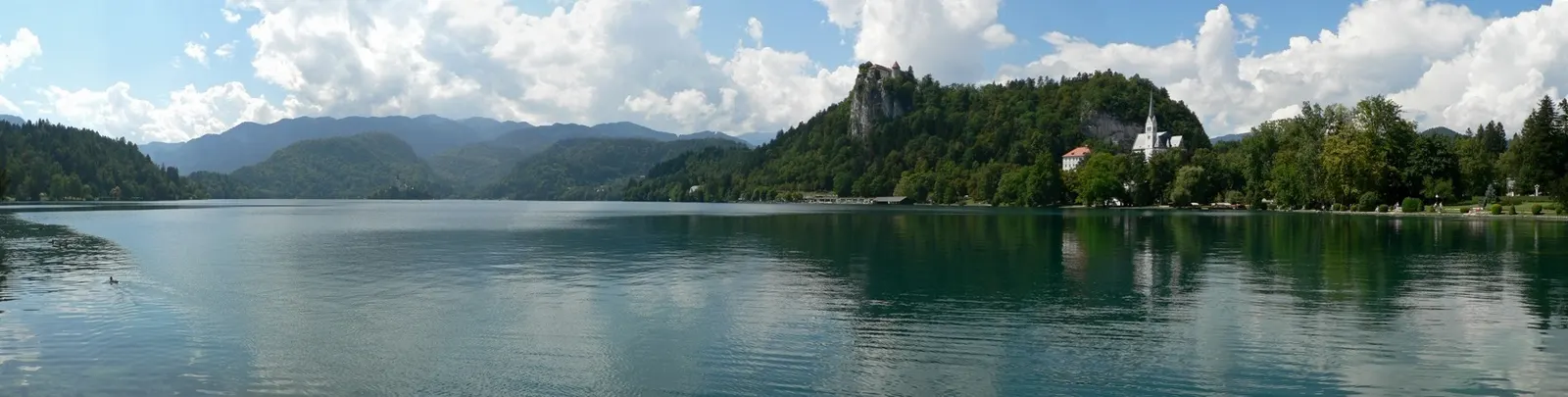
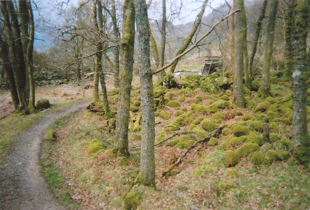
You leave Drymen through Garadhban Forest and climb over Conic Hill, on the Highland Boundary Fault, for views over Loch Lomond and its islands. After dropping to Balmaha, the path follows the east shore through oak woodland past the campsites at Cashel, Milarrochy and Sallochy to Rowardennan.
- Where
- Loch Lomond, Scotland
- Distance
- 24 km (15 miles) one way
The route
West Highland Way, Drymen to Rowardennan over Conic Hill.
Start in Drymen, the end of the first West Highland Way stage from Milngavie. Plan your return from Rowardennan in advance: seasonal waterbus services link it with the loch's west shore.
When to go
Lambing season on Conic Hill runs from mid-April to the end of May, when dogs are banned from two fields and a road diversion may apply.
Permits and fees
No permit is needed to walk. From 1 March to 30 September, camping along this stretch is only allowed at campsites or in permit areas with a camping permit from the national park.
Before you go
- Refreshments are available at Drymen, Balmaha and Rowardennan, and there are toilets at Drymen, Balmaha, Milarrochy and Rowardennan.
- Balmaha, just below Conic Hill, is the natural place for a break.
- In lambing season, if you have a dog, follow Creityhall Road to Milton of Buchanan and the B837 into Balmaha instead of the Conic Hill path.
- Look out for ospreys along the loch shore.
What to bring
- Shoes with grip that you have already worn in
- At least 1.5 litres of water
- Food you will actually want to eat
- A warm or waterproof layer
- The route, saved offline
- Sun cream and a hat
Getting ready for it
If your longest walk lately is under two hours, do a few longer walks first, ideally with some climbing and the pack you will carry.
Step-ups and lunges twice a week make the descents much easier on your knees.
Staying safe
- Conic Hill is the only big climb, topping out at about 325 m on the path; a low-level alternative avoids it.
- Tell someone your route and when you expect to be back.
- Turn around if the weather turns or the footing gets sketchy. The trail will still be there.
Route details checked September 30, 2026 against westhighlandway.org, westhighlandway.org, lochlomond-trossachs.org and lochlomond-trossachs.org. Rules and closures change, so check before you go.