
Outdoors
Ajusco Pico del Aguila Hike
A steep loop from the Albergue Alpino, up a track to an old cabin, then onto a ridge that leads to Pico del Águila. You drop to a col and climb Cruz del Marqués, the Ajusco summit, before heading down. Above about 3,500 m the ground is mostly rock.
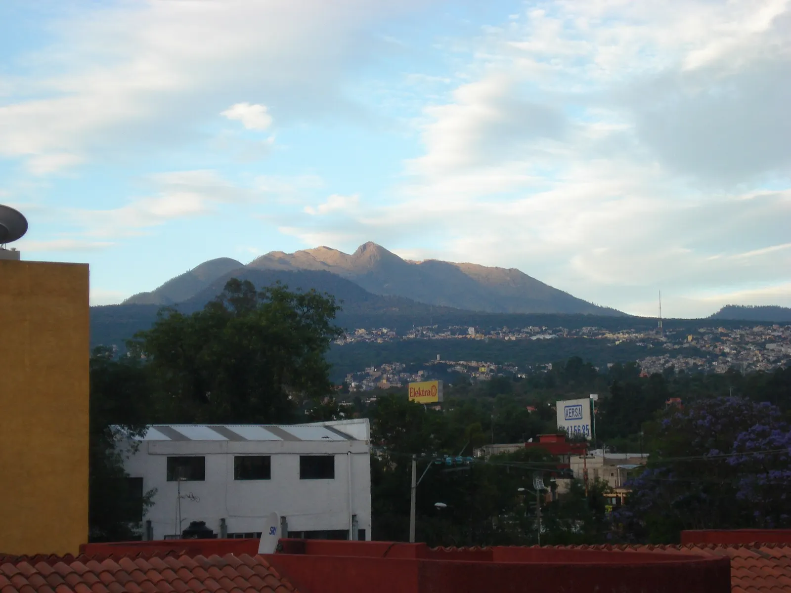
- Where
- Mexico City
- Distance
- 4.5-6.3 km loop
- Climb
- about 660-680 m
- Time
- about 2.5-4 hours
- Difficulty
- Hard
The route
Pico del Águila and Cruz del Marqués loop from the Albergue Alpino, Parque Nacional Cumbres del Ajusco.
The loop starts at the Albergue Alpino, at about 3,280 m, in Tlalpan. Mexico City's tourism office suggests the bus from Metro Universidad towards San Miguel Ajusco (about 90 minutes), then a 15-20 minute taxi into the park (address: Cerro Pico del Águila km 21, Col. Héroes de 1910).
When to go
No official season is published; the tourism office notes the summits get significant snowfall, so expect cold and ice in winter.
Before you go
- Start early: guided groups from the city leave before 7:00 and begin walking around 7:30.
- Local guiding companies provide helmets and poles on this route; bring poles if you have them.
- If you come by bus, agree the taxi fare from San Miguel Ajusco first; the tourism office quotes MXN 50-100 to most points in the park.
What to bring
- Shoes with grip that you have already worn in
- At least 1.5 litres of water
- Food you will actually want to eat
- A warm or waterproof layer
- The route, saved offline
- Sun cream and a hat
Getting ready for it
If your longest walk lately is under two hours, do a few longer walks first, ideally with some climbing and the pack you will carry.
Step-ups and lunges twice a week make the descents much easier on your knees.
Staying safe
- Steep, rocky ground above about 3,500 m; wear boots with good grip.
- The top is close to 3,900 m, so go slowly if you are not used to altitude.
- Tell someone your route and when you expect to be back.
- Turn around if the weather turns or the footing gets sketchy. The trail will still be there.
Route details checked September 30, 2026 against outdooractive.com, mexicocity.cdmx.gob.mx, dehikemx.com and ecotura.mx. Rules and closures change, so check before you go.
_-_panoramio.jpg)