Outdoors
Iztaccihuatl Paso de Cortes Hike
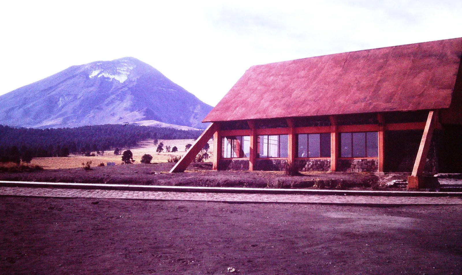
The longest of CONANP's marked trails in the park climbs from Paso de Cortés, the pass between Popocatépetl and Iztaccíhuatl, across alpine grassland to La Joya, where Iztaccíhuatl climbs begin. Panels along the way explain the ecology and water of the Sierra Nevada.
- Where
- Puebla, Mexico
- Distance
- 7 km one way
- Climb
- about 275 m (3,695 m to 3,970 m)
- Time
- about 4 hours return
- Difficulty
- Moderate
The route
Sendero Alpino, Paso de Cortés to La Joya, Parque Nacional Iztaccíhuatl-Popocatépetl.
Paso de Cortés (3,695 m) is 23 km by road from Amecameca via San Pedro Nexapa, or about 22 km from Santiago Xalitzintla on the Puebla side. Buses from Mexico City's TAPO terminal (Volcanes or Sur lines) run to Amecameca, where you take a taxi or shared van up to the pass.
When to go
CONANP recommends October to March; snow can close the road to La Joya to vehicles, as it did in March 2026, though walking was still allowed.
Permits and fees
CONANP charges MXN 125 per person per day (50% off for Mexican nationals and residents, 75% off for students, free for under-12s and over-65s). Driving up to La Joya needs a vehicle booking on CONANP's reservation site, and climbing Iztaccíhuatl beyond La Joya needs registration and a certified mountain guide.
Before you go
- CONANP's posted hours are 9:00-18:00 Tuesday to Friday, 7:00-18:00 on Saturday and 7:00-16:00 on Sunday; aim to be back at the pass well before closing.
- Public transport stops at Amecameca, so arrange your ride back down before you set off.
- There are no toilets on the La Joya side, so use the facilities at Paso de Cortés first.
- Pack three layers, boots, sunscreen, sunglasses, a cap and a rain jacket, as CONANP advises; temperatures at the pass typically sit between about -4°C and 8°C.
What to bring
- Shoes with grip that you have already worn in
- At least 1.5 litres of water
- Food you will actually want to eat
- A warm or waterproof layer
- The route, saved offline
- Sun cream and a hat
Getting ready for it
If your longest walk lately is under two hours, do a few longer walks first, ideally with some climbing and the pack you will carry.
Step-ups and lunges twice a week make the descents much easier on your knees.
Staying safe
- Altitude: the whole trail lies between about 3,700 m and 4,000 m.
- Popocatépetl is active and climbing it is prohibited. In March 2026 its alert level was Yellow Phase 2 with a 10 km exclusion zone around the crater, so check CENAPRED's volcanic alert before you go.
- Tell someone your route and when you expect to be back.
- Turn around if the weather turns or the footing gets sketchy. The trail will still be there.
Route details checked September 30, 2026 against conanp.gob.mx, conanp.gob.mx, descubreanp.conanp.gob.mx, lajornadaestadodemexico.com and eluniversal.com.mx. Rules and closures change, so check before you go.