Outdoors
Hierve el Agua Trails Hike
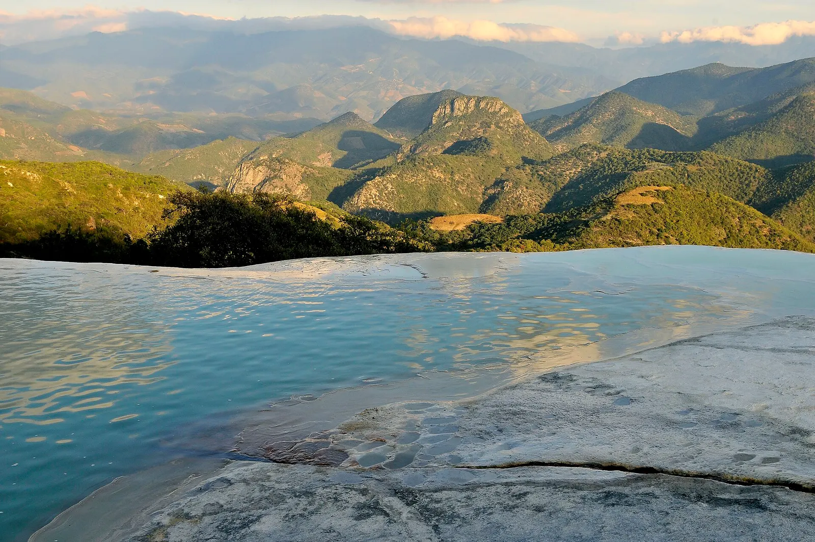
From the mineral springs and pools on top of the Cascada Chica, a loose dirt path leads down and round to a lookout facing the Cascada Grande, the larger of two white mineral cliffs that look like frozen waterfalls.
- Where
- Oaxaca, Mexico
- Distance
- about 2 km return
- Time
- about 40 minutes return
The route
Hierve el Agua path from the pools to the Cascada Grande viewpoint.
Hierve el Agua is about 70 km from Oaxaca city. Drive, or take a shared taxi to Mitla on Federal Highway 190 and arrange onward transport there, following the road via San Lorenzo Albarradas to San Isidro Roaguía; many people come on a tour.
When to go
November to January is cooler and quieter after the rains, and June to August brings more water over the formations.
Permits and fees
Local communities charge a road access fee and a separate site entry, plus parking and toilets; amounts change, so carry cash. No guide is needed, though local guides are available at the site.
Before you go
- Wear shoes with grip; the path is loose earth, about 20 minutes each way.
- Bathing in the pools is allowed; take swimwear and a towel and swim with care to protect the formations.
- The site shut from March to October 2021 over a land dispute between San Lorenzo Albarradas and San Isidro Roaguía, so check it is open before you set off.
What to bring
- Shoes with grip that you have already worn in
- At least 1.5 litres of water
- Food you will actually want to eat
- A warm or waterproof layer
- The route, saved offline
- Sun cream and a hat
Getting ready for it
If your longest walk lately is under two hours, do a few longer walks first, ideally with some climbing and the pack you will carry.
Step-ups and lunges twice a week make the descents much easier on your knees.
Staying safe
- There are no railings or lifeguards; keep well back from the cliff edges and watch children closely.
- Tell someone your route and when you expect to be back.
- Turn around if the weather turns or the footing gets sketchy. The trail will still be there.
Route details checked September 30, 2026 against oaxaca.eluniversal.com.mx, mexicodesconocido.com.mx, forbes.com.mx and dineroenimagen.com. Rules and closures change, so check before you go.