Outdoors
Mount Rainier Skyline Trail Hike
The loop climbs through the subalpine meadows above Paradise to Panorama Point at 2,073 m (6,800 ft), passing close-up views of the Nisqually Glacier, then circles back past the Stevens-Van Trump Memorial and Myrtle Falls. On clear days you can see south as far as Mount Hood in Oregon.
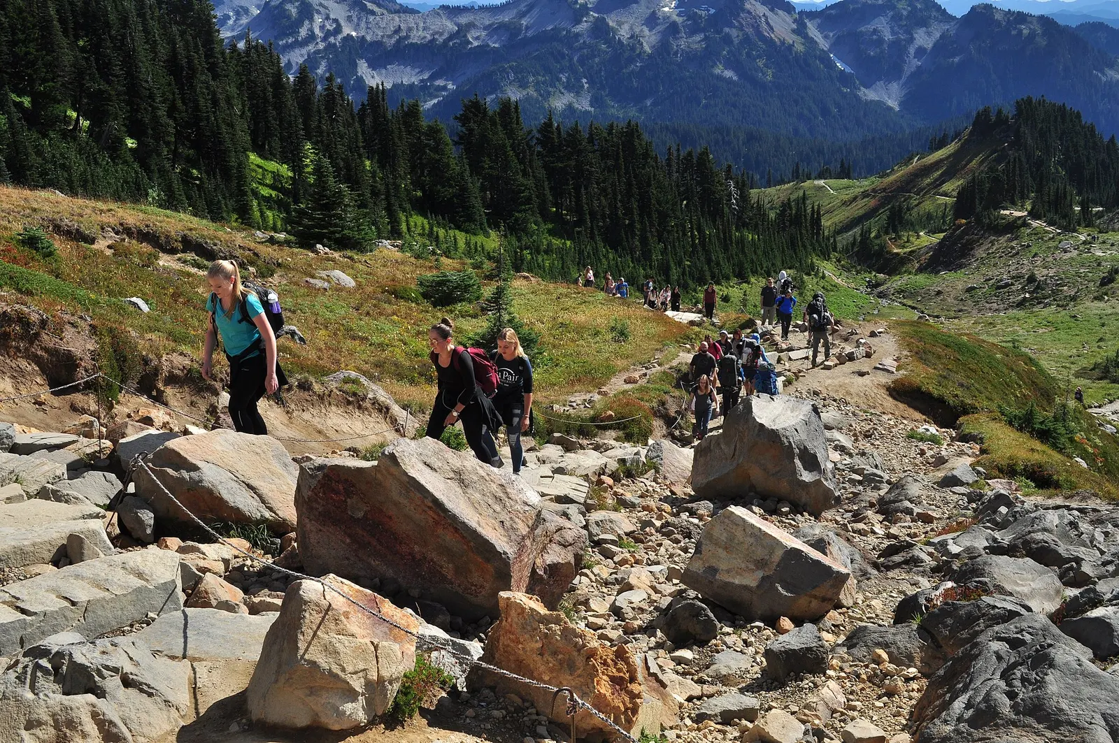
- Where
- Washington, USA
- Distance
- 8.9 km (5.5 miles) loop
- Climb
- 518 m (1,700 ft)
- Time
- 4.5 hours
- Difficulty
- Hard
The route
Skyline Loop from Paradise via the High Skyline Trail.
Start at the stone steps with a John Muir quote on the north side of the upper parking lot, next to the Jackson Visitor Center at Paradise. Paradise is 30 km (19 miles) east of the Nisqually Entrance.
When to go
Snow can linger on the trails well into June or even July, and the park warns that early-season hiking on this trail may be hazardous; the road from Longmire to Paradise is plowed in winter but closes at night.
Permits and fees
Entrance costs $30 per vehicle or $15 per person for 7 days. The park is not using timed entry reservations anywhere in 2026, so parking at Paradise is first come, first served.
Before you go
- Going clockwise, you climb 3.2 km (2 miles) to Panorama Point, which has a pit toilet in summer only.
- Past Panorama Point, take the High Skyline Trail to avoid a dangerous icy slope that does not melt.
- The park suggests arriving before 7 am or after 4 pm, and on weekdays, for easier parking.
- Pets and bicycles are not allowed on park trails; stay on the trail to protect the meadows.
What to bring
- Shoes with grip that you have already worn in
- At least 1.5 litres of water
- Food you will actually want to eat
- A warm or waterproof layer
- The route, saved offline
- Sun cream and a hat
Getting ready for it
If your longest walk lately is under two hours, do a few longer walks first, ideally with some climbing and the pack you will carry.
Step-ups and lunges twice a week make the descents much easier on your knees.
Staying safe
- Early in the season, snow and ice on the trail can make it hazardous, especially the permanent icy slope beyond Panorama Point.
- Tell someone your route and when you expect to be back.
- Turn around if the weather turns or the footing gets sketchy. The trail will still be there.
Route details checked September 30, 2026 against nps.gov, nps.gov, nps.gov, nps.gov and nps.gov. Rules and closures change, so check before you go.