Outdoors
Rocky Mountain Emerald Lake Hike
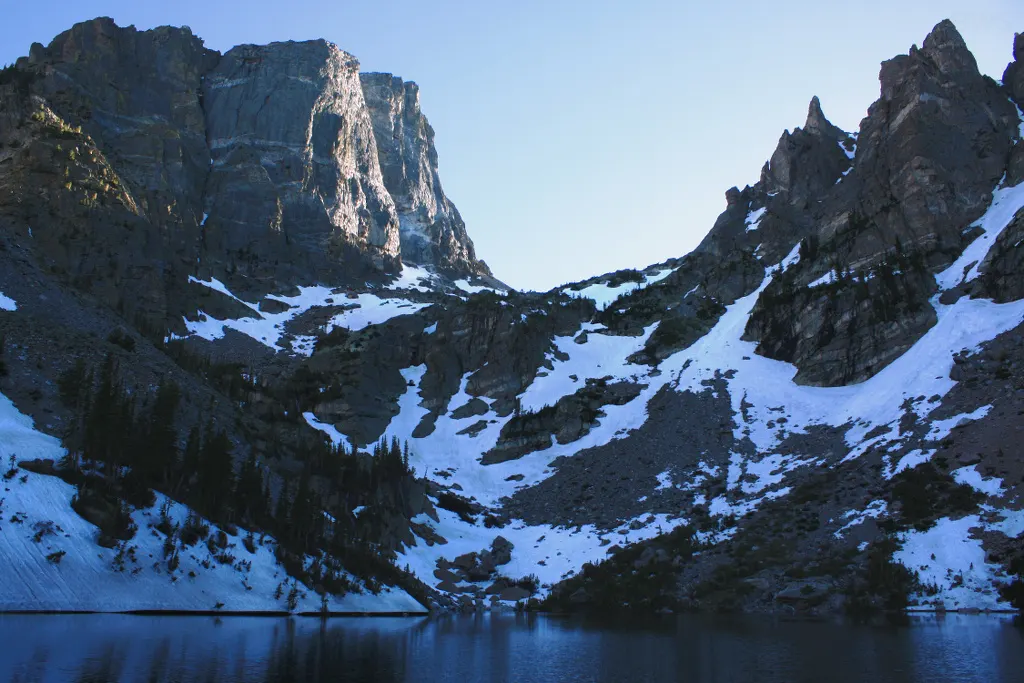
From Bear Lake you climb past Nymph Lake and then Dream Lake before following Tyndall Gorge up to Emerald Lake, below Hallett Peak and Flattop Mountain. It is a short but steady climb at high altitude, starting at 2,888 m (9,475 ft).
- Where
- Colorado, USA
- Distance
- 5.5-5.8 km (3.4-3.6 miles) return
- Climb
- 184-235 m (605-771 ft)
The route
Bear Lake Trailhead to Emerald Lake via Nymph Lake and Dream Lake, and back.
The trail starts at the Bear Lake Trailhead at the end of Bear Lake Road. The car park is often full by 9 am, so in summer many people use the Park & Ride and the park shuttle.
When to go
Walkable all year, but in winter the trails are not marked or maintained, avalanches can happen in the area and park shuttles do not run; lightning is common from June to September.
Permits and fees
From 22 May to 18 October 2026 you need a Timed Entry+ Bear Lake Road reservation ($2 Recreation.gov fee) to drive Bear Lake Road between 5 am and 6 pm. Entrance costs $30 per vehicle for 1 day or $35 for 7 days, and in 2026 non-US residents aged 16 or over pay an extra $100 each unless they hold an annual or America the Beautiful pass.
Before you go
- Nymph Lake is 0.8 km (0.5 miles) in and Dream Lake 1.8 km (1.1 miles) in, so both make easy turnaround points.
- Reservations are released on the first of the month before (for example 1 June for July dates) at 8 am MDT, and 40% of each day's slots are released at 7 pm MDT the evening before.
- After rain, expect wet, muddy sections between Dream Lake and Emerald Lake; check the park's trail conditions page before you go.
- In winter, bring a map and compass, as you cannot rely on other people's tracks.
What to bring
- Shoes with grip that you have already worn in
- At least 1.5 litres of water
- Food you will actually want to eat
- A warm or waterproof layer
- The route, saved offline
- Sun cream and a hat
Getting ready for it
If your longest walk lately is under two hours, do a few longer walks first, ideally with some climbing and the pack you will carry.
Step-ups and lunges twice a week make the descents much easier on your knees.
Staying safe
- Lightning is common from June to September on this exposed high ground.
- In winter, avalanches can happen almost anywhere in the Bear Lake area, and streams and lakes can have thin ice.
- Tell someone your route and when you expect to be back.
- Turn around if the weather turns or the footing gets sketchy. The trail will still be there.
Route details checked September 30, 2026 against nps.gov, nps.gov, nps.gov, nps.gov, nps.gov, nps.gov, nps.gov, nps.gov and nps.gov. Rules and closures change, so check before you go.