Outdoors
Sedona West Fork Trail Hike
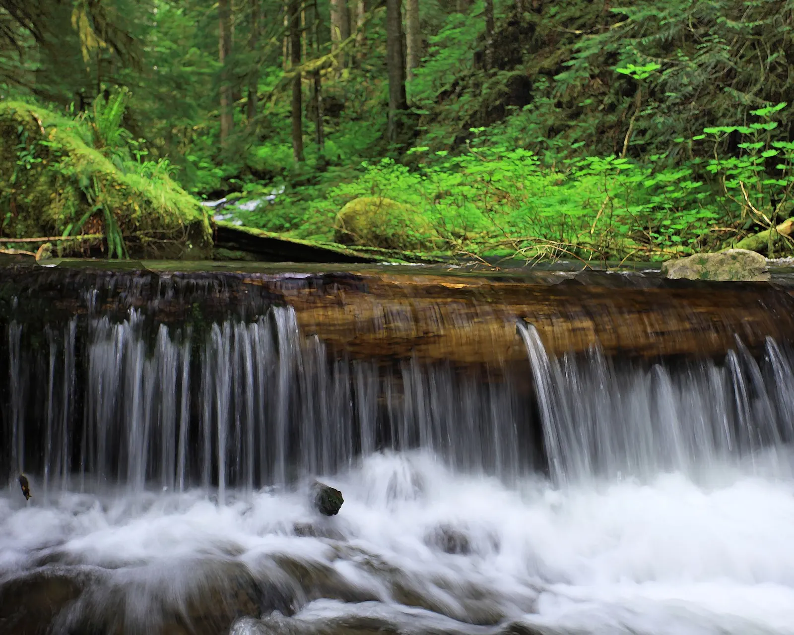
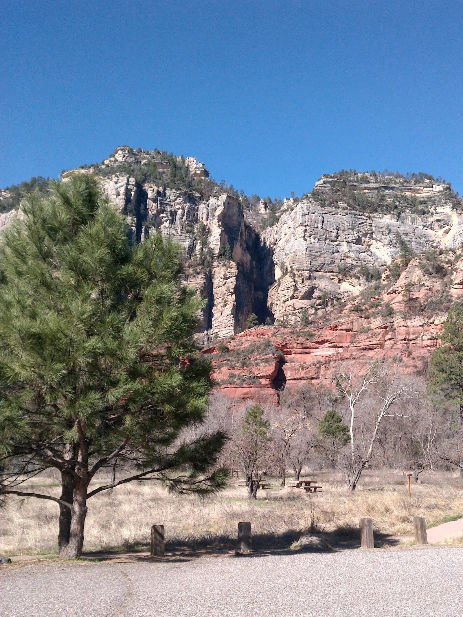
You walk upstream beside the West Fork of Oak Creek into a side canyon under high cliffs, crossing the stream several times on stepping stones or through shallow water. The trail is marked and maintained for the first 4.8 km (3 miles), after which it becomes a route in the stream bed into the Red Rock-Secret Mountain Wilderness.
- Where
- Arizona, USA
- Distance
- 9.7 km (6 miles) return to the end of the maintained trail
- Climb
- 67 m (221 ft)
- Time
- 2-3 hours
- Difficulty
- Easy
The route
West Fork Trail No. 108 from Call of the Canyon to the end of the maintained trail (4.8 km / 3 miles in) and back.
The trailhead is at the Call of the Canyon Picnic Site on State Route 89A in Oak Creek Canyon, 28 km (17.5 miles) south of Flagstaff and 15 km (9.5 miles) north of Sedona. The paved car park fills quickly.
When to go
Walkable all year, with birdsong in spring, red and gold leaves in autumn and icicles in winter, but the trail may close in times of high fire danger, usually in late June.
Permits and fees
Day use costs $15 per vehicle per day (up to 5 people) or $4 per person on foot, bike or bus; the Red Rock Pass and America the Beautiful pass are not accepted here. The site is open 7 am to dusk from April to September and 8 am to dusk from October to March.
Before you go
- Arrive early, because the paved car park fills quickly.
- Wear shoes you do not mind getting wet, as you cross the stream several times.
- Dogs must be on a lead, and you must pick up after them.
- Turn back where the maintained trail ends; beyond it you are forced to walk in the stream bed and the route becomes more strenuous.
What to bring
- Shoes with grip that you have already worn in
- At least 1.5 litres of water
- Food you will actually want to eat
- A warm or waterproof layer
- The route, saved offline
- Sun cream and a hat
Getting ready for it
If your longest walk lately is under two hours, do a few longer walks first, ideally with some climbing and the pack you will carry.
Step-ups and lunges twice a week make the descents much easier on your knees.
Staying safe
- Stream crossings on stepping stones or through shallow water can be slippery.
- Tell someone your route and when you expect to be back.
- Turn around if the weather turns or the footing gets sketchy. The trail will still be there.
Route details checked September 30, 2026 against fs.usda.gov and fs.usda.gov. Rules and closures change, so check before you go.