Outdoors
Sumidero Canyon Viewpoints Hike
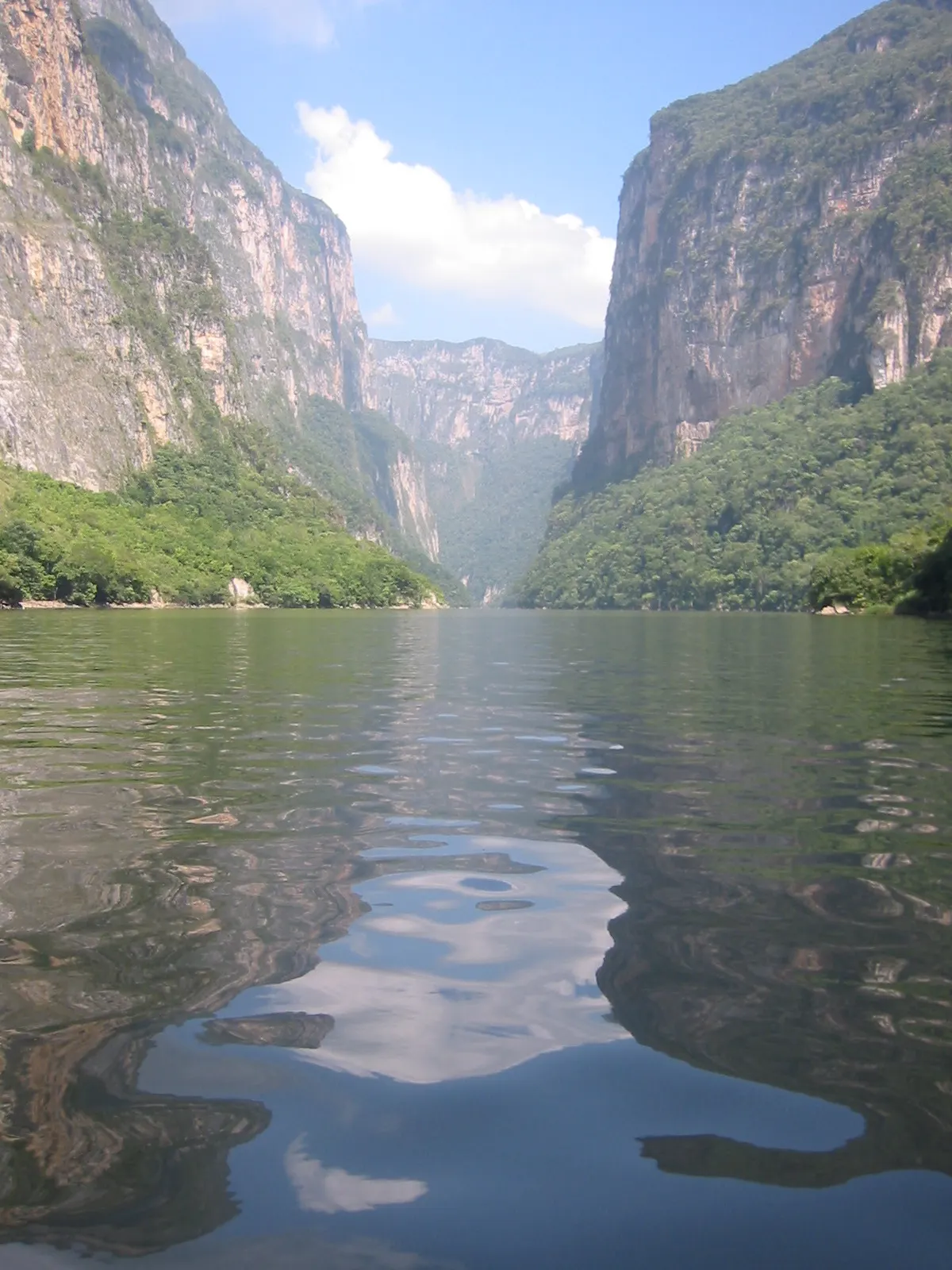
You follow the park road past five lookouts in turn: La Ceiba, La Coyota, El Roblar, El Tepehuaje and Los Chiapa, the last standing more than 1,000 m above the Río Grijalva. La Coyota has a short staircase down to its platform and El Roblar a short forest path.
- Where
- Chiapas, Mexico
- Distance
- about 16 km (viewpoint road)
The route
Ruta de los Miradores, the viewpoint road along the rim of the Cañón del Sumidero from Tuxtla Gutiérrez.
The park entrance is on the Calzada al Sumidero, about 22 km or 20 minutes by car from central Tuxtla Gutiérrez. Most visitors drive or come on a tour from Tuxtla or San Cristóbal de las Casas.
When to go
CONANP says the park can be visited all year; arrive early, as cloud tends to build over the canyon in the afternoon.
Permits and fees
CONANP charges MXN 125 per person per day at its booth (50% off for Mexican nationals and residents, 75% off for students and teachers, free for under-12s and seniors). The viewpoints open Wednesday to Monday, 8:00-17:00, and are closed on Tuesdays.
Before you go
- There is a special 6:00-8:00 slot for people exercising on the road; ask at the booth whether a fee applies and when you must be out.
- Los Chiapa, the last viewpoint, has toilets and a picnic area.
- CONANP recommends long sleeves, a hat, sunscreen and insect repellent in this warm, humid park.
What to bring
- Shoes with grip that you have already worn in
- At least 1.5 litres of water
- Food you will actually want to eat
- A warm or waterproof layer
- The route, saved offline
- Sun cream and a hat
Getting ready for it
If your longest walk lately is under two hours, do a few longer walks first, ideally with some climbing and the pack you will carry.
Step-ups and lunges twice a week make the descents much easier on your knees.
Staying safe
- The viewpoints are on a road open to cars and tour vehicles; walk facing traffic and wear bright clothing.
- The drops at the lookouts are huge (over 1,000 m at Los Chiapa); keep well back from the edge.
- Tell someone your route and when you expect to be back.
- Turn around if the weather turns or the footing gets sketchy. The trail will still be there.
Route details checked September 30, 2026 against descubreanp.conanp.gob.mx, visitachiapas.com, airenomada.com, mexicodesconocido.com.mx and leionoticias.com. Rules and closures change, so check before you go.