Outdoors
Acadia Ocean Path Hike
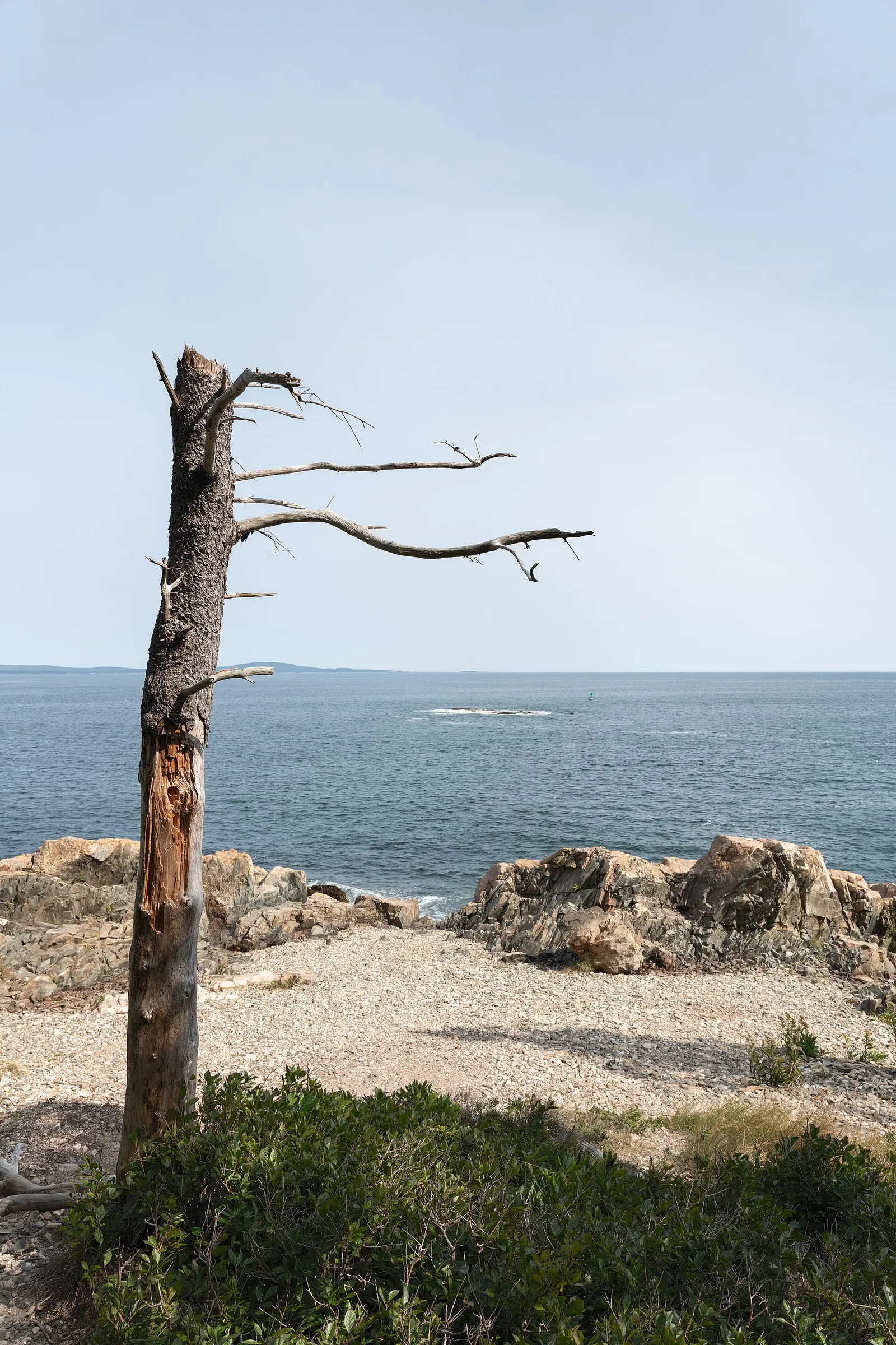
You follow the coast south from Sand Beach over slabs of pink granite, reaching Thunder Hole after 1.1 km (0.7 miles), then climb granite staircases over Otter Cliffs, at 34 m (110 ft) the highest point on the path, before finishing at Otter Point. The path stays gradual throughout: concrete and packed gravel as far as Thunder Hole, then uneven ground through spruce and fir forest.
- Where
- Maine, USA
- Distance
- 3.5 km (2.2 miles) one way; 7.1 km (4.4 miles) return
- Time
- 1-2 hours one way; 2-4 hours return
The route
Ocean Path from Sand Beach past Thunder Hole and Otter Cliffs to Otter Point.
Start at the Sand Beach upper parking lot on the Park Loop Road. You can also join at Thunder Hole or Otter Point, and the fare-free Island Explorer bus stops along the route in season.
When to go
The trail is open all year, but the Park Loop Road that reaches it is open to cars only from 15 April to 1 December, and the Island Explorer bus runs from late spring to mid-October.
Permits and fees
A park entrance pass is needed: $35 per vehicle or $20 per person for 7 days, and in 2026 non-US residents aged 16 or over pay an extra $100 each unless they hold an annual or America the Beautiful pass. The park's vehicle reservations apply only to Cadillac Summit Road, not to the Ocean Path.
Before you go
- The Sand Beach lot and the right-hand lane of the Park Loop Road to Otter Point often fill by 9 am in summer and at weekends, so arrive early or take the Island Explorer.
- Island Explorer stops at Sand Beach, Thunder Hole, Gorham Mountain, Otter Cliffs and Otter Point, so you can walk one way and ride back; in 2026 spring service on the Park Loop Road began on 20 May and full summer service on 23 June.
- For the most accessible section, start at Thunder Hole, where a ramp leads to the paved stretch towards Sand Beach.
- Dogs are allowed on a lead no longer than 1.8 m (6 ft).
What to bring
- Shoes with grip that you have already worn in
- At least 1.5 litres of water
- Food you will actually want to eat
- A warm or waterproof layer
- The route, saved offline
- Sun cream and a hat
Getting ready for it
If your longest walk lately is under two hours, do a few longer walks first, ideally with some climbing and the pack you will carry.
Step-ups and lunges twice a week make the descents much easier on your knees.
Staying safe
- The path runs along steep drops into the ocean; stay back from the edge, especially around Thunder Hole in high tides and strong winds.
- Tell someone your route and when you expect to be back.
- Turn around if the weather turns or the footing gets sketchy. The trail will still be there.
Route details checked September 30, 2026 against nps.gov, nps.gov, nps.gov, nps.gov, nps.gov, nps.gov and nps.gov. Rules and closures change, so check before you go.