Outdoors
Lake Tahoe Rubicon Trail Hike
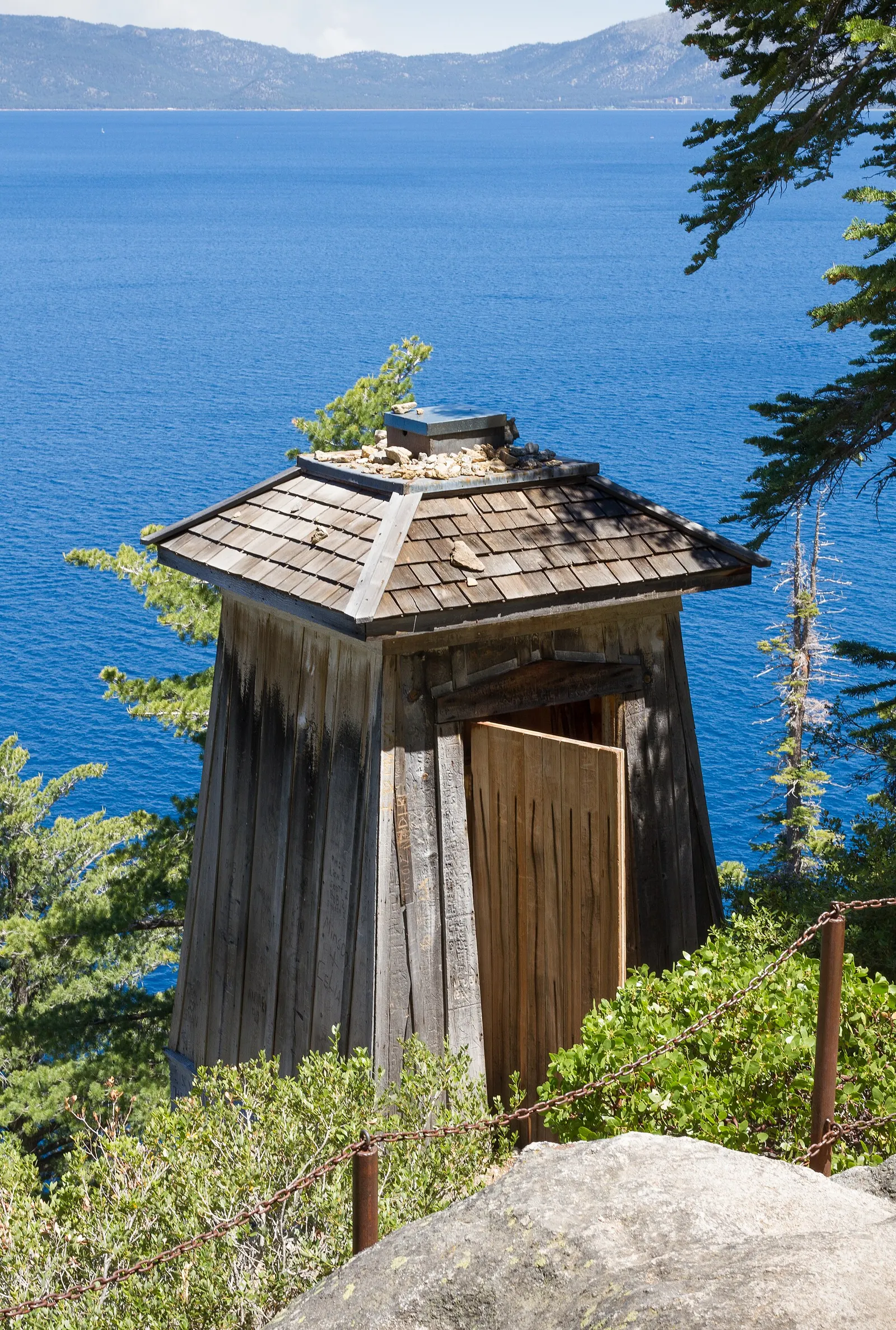
You follow the lakeshore south from Calawee Cove, past the Lighthouse Trailhead, and round into Emerald Bay to Vikingsholm, with views over Emerald Bay and Lake Tahoe. From Vikingsholm a steep 1.6 km (1 mile) path climbs to the car park on the road above.
- Where
- California, USA
- Distance
- About 9.2 km (5.7 miles) one way to the Vikingsholm junction, plus the 1.6 km (1 mile) climb to the Vikingsholm lot; the whole trail to Eagle Point is 11.9 km (7.4 miles)
- Difficulty
- Hard
The route
Rubicon Trail from Calawee Cove (D.L. Bliss State Park) south along the shore to Vikingsholm on Emerald Bay (one way).
The northern trailhead is at Calawee Cove in the northern part of D.L. Bliss State Park. The southern end is the Vikingsholm parking lot and Emerald Bay Overlook, so you will need a second car or a lift, or to walk back.
When to go
D.L. Bliss closes to vehicles for the off-season from 1 October 2026, but you can still walk in from sunrise to sunset from the visitor centre parking area; Vikingsholm house tours run from 23 May to 30 September.
Permits and fees
D.L. Bliss charges a $10 vehicle day-use fee; the Vikingsholm lot costs $10 a day or $3 an hour and takes vehicles no longer than 5.5 m (18 ft). No trail permit is mentioned, and the park also sells a $75 Tahoe Regional Annual Pass.
Before you go
- Dogs, fires, bicycles, camping and jumping or diving are not allowed on the trail.
- For a shorter walk, start or finish at the Lighthouse Trailhead, 2.1 km (1.3 miles) south of Calawee Cove.
- Leave energy for the end: the path from Vikingsholm up to the car park is steep.
- If the D.L. Bliss lots are full in peak season, the park points to overflow parking at the Balancing Rock lot.
What to bring
- Shoes with grip that you have already worn in
- At least 1.5 litres of water
- Food you will actually want to eat
- A warm or waterproof layer
- The route, saved offline
- Sun cream and a hat
Getting ready for it
If your longest walk lately is under two hours, do a few longer walks first, ideally with some climbing and the pack you will carry.
Step-ups and lunges twice a week make the descents much easier on your knees.
Staying safe
- High Sierra weather can change abruptly.
- Tell someone your route and when you expect to be back.
- Turn around if the weather turns or the footing gets sketchy. The trail will still be there.
Route details checked September 30, 2026 against parks.ca.gov and parks.ca.gov. Rules and closures change, so check before you go.